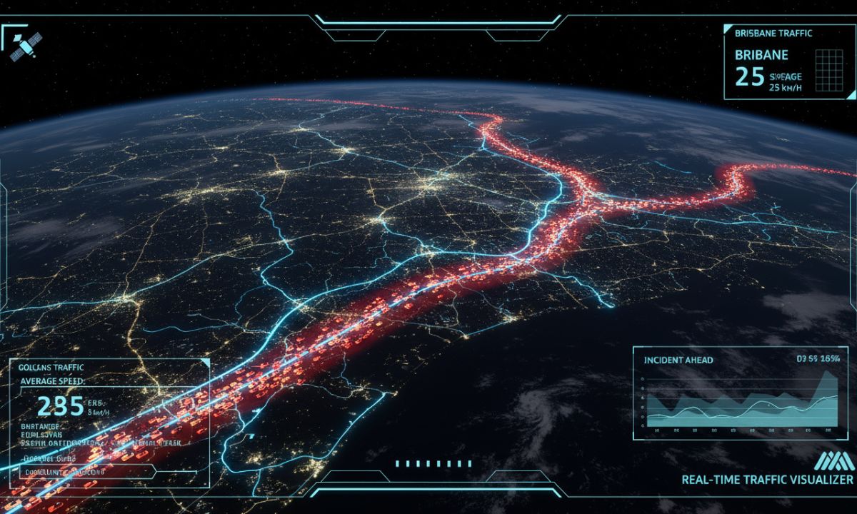
Let’s imagine for a moment that you’re driving along the Pacific Highway, just north of Brisbane, when your phone buzzes with an alert. A satellite 20,000 kilometres above your head has detected unusual traffic patterns ahead and identified it as a vehicle pile-up. Emergency services are already on their way, traffic is being rerouted, and you've been guided to a safer alternate route. All of this within minutes of it happening.
It might sound like science fiction, but, in fact, this is the reality that Queensland is facing. This is all because satellite technology is constantly revolutionising how we monitor, manage, and respond to road safety challenges across our vast state.
With Queensland recording a shocking 302 fatalities in 2024 compared to 274 in 2023, a 10% increase, the urgent need for innovative safety solutions has never been more plain to see. Our state's 33,000-kilometre road network stretches across terrain that ranges from dense urban corridors to remote outback highways. Help can often be hours away. Traditional monitoring simply can't cover all that area effectively.
So, this is where satellites come in; the all-seeing eyes in the sky.
The Current Reality: What Safety Looks Like Today on the Roads in Queensland
The road safety challenges are as diverse as the geography. The Queensland Road Safety Strategy 2022-31 has laid down an ambitious target: zero serious road trauma by 2050, with interim goals to cut road fatalities by 50% and serious injuries by 30% by 2031.
The numbers tell a stark story. They show that rural and remote areas face nearly twice the rate of serious road-related injuries compared to major cities. When you break it down like this, it’s obvious where things need to improve. Especially if that target has any chance of becoming a reality.
Consider the challenges our emergency services face every day. Let’s say a crash occurs on a remote stretch of highway between Townsville and Mount Isa. Minutes begin to slip by. Someone eventually reports it, and then emergency responders must navigate to an exact location. This could be as vague as "somewhere near the 200-kilometre marker." At the same time, more dangers lurk around the corner as other motorists continue to approach the scene, unaware of the danger ahead.
How Satellite Technology is Revolutionising Road Safety
The European Space Agency's recent trials in the Netherlands demonstrate just how transformative this technology can be. Their Road Traffic Monitoring by Satellite (RTMS) system used "floating car data" sent via satellite to give real-time traffic updates across the whole road network. The results were impressive: coverage that ground-based systems just couldn’t match.
Here's how it works. Satellites continuously scan roads using high-resolution imagery and radar technology. Artificial intelligence algorithms then process this data in real-time, identifying everything from gridlocked roads and broken-down vehicles to issues with the road surface and incoming storms.
Valerann received a €3.6 million contract from the European Space Agency to develop its satellite monitoring platform for projects overseas. The results were clear: accident rates dropped by double digits. Queensland is currently piloting such systems, but the full impact of these studies is yet to be fully measured.
Oddly enough, the tech doesn’t just detect problems; it actually goes a long way to predicting them. Machine learning (ML) algorithms can identify patterns that human operators just wouldn’t be aware of. This might include things like spotting the early signs of congestion that could lead to rear-end collisions or detecting road surface changes that might cause vehicles to swerve uncontrollably.
Real-Time Incident Detection: A Game Changer?
Imagine if emergency services were able to get details on every crash the moment it happened, regardless of where it took place. Satellite-based incident detection makes this a reality.
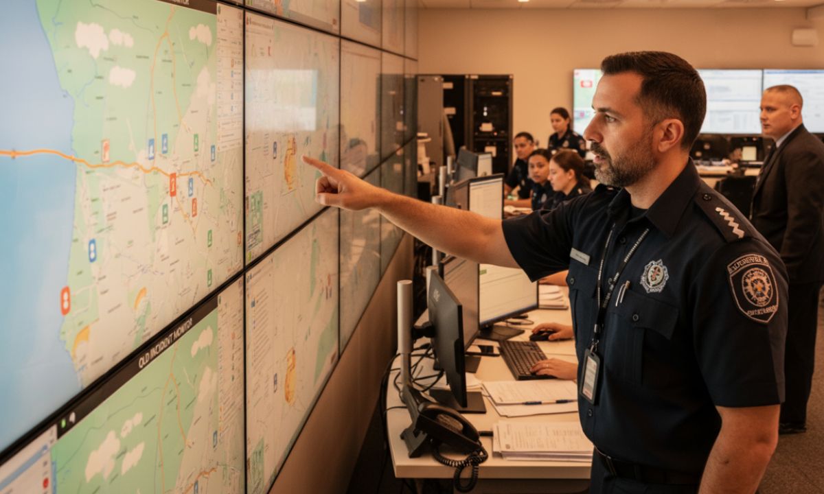
In China, researchers have developed comprehensive road monitoring systems that combine live video feeds with satellite maps, letting control centres see incidents across whole networks in real-time. Applied in Queensland, this could give emergency services a clear view of every major highway and rural road all at once.
The implications of this can’t be overstated. Instead of waiting for a good Samaritan to call 000, emergency services would receive automatic alerts with precise GPS coordinates. The time it takes for emergency teams to get accurate instructions could be cut dramatically, potentially saving lives in those first critical minutes after a serious crash.
Logan City Council's technology-driven road safety project shows how Queensland is already embracing this approach. It’s utilising advanced data analytics and geospatial mapping to identify risk zones and improve the ability to respond to potential road accidents.
But where it really could make a difference is in Queensland's rural areas, where mobile coverage is at best patchy and at worst non-existent.
Solving the Rural Road Safety Crisis
Rural road safety represents Queensland's most pressing challenge. The statistics make this soberingly clear: rural and remote crashes contribute 65% of fatal crashes nationwide. They also show that the more remote the area, the higher the rates of death.
The Transport Research Laboratory's work on rural areas in Africa illustrates exactly what can be achieved with this new tech. Across six countries, where 54% of roads are unpaved, they used satellite imagery and AI to monitor rural road conditions, enabling authorities to quickly assess road quality and prioritise repairs, exactly the kind of capability Queensland's remote areas need.
Take the Bruce Highway that runs through rural Queensland. It sees freight trucks, tourist caravans, and local traffic. But with emergency services hours away and minimal monitoring, it’s far less equipped than urban roads.
Satellite technology levels the playing field. Weather monitoring capabilities can detect dangerous conditions like flash flooding or ice formation before they cause accidents. High-resolution imagery can spot road surface problems, debris, or even wildlife. Most importantly, automatic crash detection means help is on the way immediately. No more waiting for someone to pass by and be the friendly Samaritan.
The partnership between Anditi and Agilysis to deploy AI and satellite analytics in Queensland specifically shows that this technology is already arriving on our shores.
Smart Infrastructure and Predictive Maintenance
Beyond the immediate safety benefits, satellite technology enables a fundamental shift from reactive to predictive road management. Instead of waiting for potholes to cause accidents or bridges to develop dangerous structural problems, authorities can stay ahead of these issues before they cause problems.
There’s even a technology (InSAR, for short) that can detect changes to road surfaces and damage to infrastructure with millimetre-level accuracy. This means that the authorities in Queensland can monitor the structural integrity of every bridge, the stability of every embankment, and the condition of every road surface across the entire state network within one or two clicks.
And, of course, there are many economic benefits to this. Predictive maintenance is almost always cheaper than emergency repairs, and preventing crashes saves enormous costs in medical treatment, emergency response, and traffic disruption. When you consider that Queensland's road network spans over 33,000 kilometres, the potential savings are nothing short of transformative.
Better Emergency Response in Remote Areas
Perhaps nowhere is satellite technology making a bigger difference than in emergency response coordination. Queensland's Emergency Vehicle Priority (EVP) system is already demonstrating how GPS tracking and automated systems can improve response times in urban areas, with over 300 emergency vehicles and 1,100 signalised intersections.
But, as we’ve mentioned previously, rural areas face different challenges. When every second counts, satellite technology delivers capabilities that ground-based systems alone just can’t match.
Automatic crash detection through vehicle telematics, technology which collects data from vehicles, can transmit distress signals via satellite when mobile network coverage isn't available. Emergency teams receive not just location data, but may also get information about the severity of the crash, the number of vehicles involved, or even whether airbags have deployed.
Satellite communication also offers backup emergency channels that stay operational during natural disasters, even when mobile towers are damaged or overloaded. With Queensland’s history of cyclones, floods, and other extreme weather, this kind of resilience could be vital in major emergencies.
The technology also enables more sophisticated emergency response coordination. Instead of multiple agencies working from incomplete information, satellite systems can provide a common operational picture that all responders share in real-time.
Also read: Advanced Driver Aids and Warnings: Life-Saving Tech or Annoying Distraction?
Looking Ahead: The Road to Autonomous Safety
This winning combination of satellite technology alongside other new vehicle technologies points toward further developments in safety. As vehicles become increasingly connected and autonomous systems become more sophisticated, satellite-based infrastructure will provide the data and the awareness these systems need to operate safely.
Vehicle trials in Queensland, including pilot studies that have already concluded, demonstrate how vehicles can communicate with infrastructure, as well as with each other, to prevent crashes. Satellite connectivity extends these capabilities to rural areas.
The outlook is clear: a road network where every vehicle collects and transmits data about potential hazards, an emergency service that receives immediate notifications of every incident, and infrastructure being monitored continuously for problems which are preventable.
What This Means for Queensland Drivers Today
While more streamlined satellite-based road safety systems are still being rolled out, drivers in Queensland can already benefit.
At a faster pace than ever, modern navigation apps are integrating satellite data to provide real-time incident alerts and route optimisation. The key is to ensure your GPS or navigation app has location services enabled and traffic updates activated to receive the most current information.
For rural drivers especially, investing in satellite communication devices like personal emergency beacons provides a potentially life-saving backup. These devices can automatically transmit location data to emergency services, removing potential obstacles to being found as quickly as possible.
Queensland's StreetSmarts program regularly shares updates about new technology trials and safety initiatives. Staying informed about these developments helps drivers understand and make use of these new safety tools as they become available.
The Policy and Implementation Challenge
Realising the full potential of satellite-based road safety requires two important steps: strategy and policy. The Queensland Road Safety Strategy 2022-31 has made it clear that it supports using new technologies and data analytics, providing what many hope is a clear policy framework.
Privacy and data security, as with a lot of modern tech, are potential bones of contention. Comprehensive traffic monitoring must be balanced against an individual’s right to privacy. There must be clear guidelines about data collection, storage, and use that maintain public confidence while also operating effectively.
The need to work well with existing systems is a further issue. The implementation of Queensland’s satellite technology should align with national standards to operate seamlessly across state borders and fit neatly with the current emergency response and traffic management infrastructure.
The €3.6 million the European Space Agency is investing in a satellite traffic monitoring platform highlights the scale of investment needed, but the payoff, in terms of fewer crashes and lives saved, surely makes it worthwhile.
Tomorrow's Roads
The transformation satellite technology promises for Queensland extends far beyond individual innovations. It’s a shift toward comprehensive, predictive, and proactive road safety management that could eliminate many of the factors that contribute to the saddening statistics.
Hazards can be detected before they cause accidents, emergency services can respond quickly, no matter the location, and infrastructure can be repaired before it becomes dangerous. Modern technology offers us these possibilities; now it’s time to put them into action and make them a reality.
The question to really ask is, how quickly can we implement these systems and begin saving lives? With trials like Acusensus innovations being tested on Queensland roads and partnerships like the AiRAP initiative already active across the state, that transformation is already beginning.
The eyes in the sky are already watching over our roads. Soon, they'll be protecting everyone who travels on them, too.